Exact Fuel 3.0.40 Release Notes
HERE Maps Implementation
With this release of the Exact Fuel 3.0.40, Omnitracs will begin using mapping services provided by the HERE Maps for Geoservices.
Only the source of the map is changing; the maps themselves will function much as they now. You might notice some differences in the layout of the map controls, such as the placement of the zoom in and zoom out buttons, view selection labels, and with few additional features but they are minor and intuitive to use.
The below section highlights the differences in the user interface between Efuel previous and current screens of the application.
Map Changes
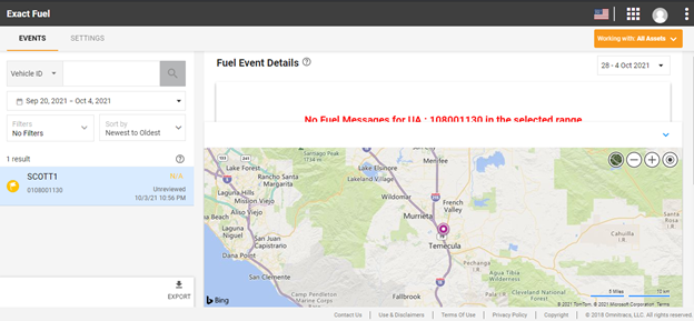
Road View – Bing Map
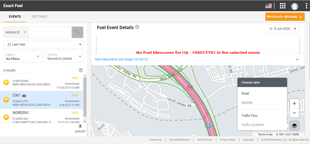
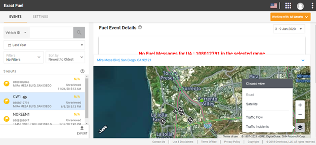
Road View - HERE Map
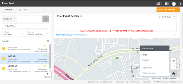
Highlight: "Choose view" icon in the right bottom corner displaying 4 options - Road, Satellite, Traffic Flow and Traffic incidents, by default Road view option will get highlighted
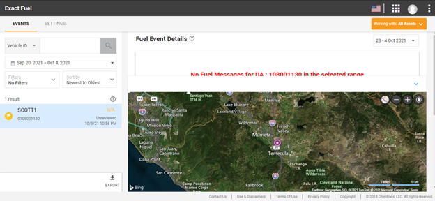
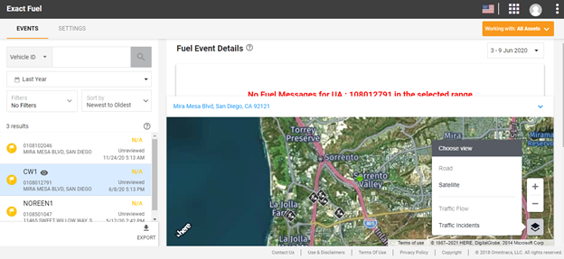
Satellite View - Bing Map
Satellite View – HERE Map
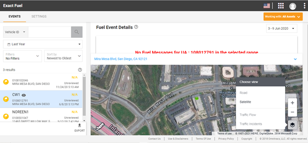
Highlight: Satellite View of the location highlighting satellite option in the Menu
Marker View - HERE Map
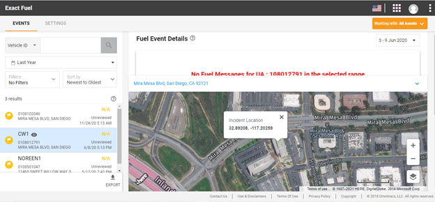
Highlight: Green bubble on the Map UI showing Incident Location Lat/Long details of the Map in the tooltip
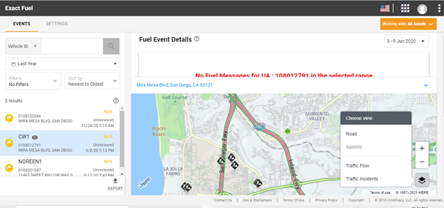
Traffic Flow in Road View - HERE Map
Highlight : Road view showing Traffic Flow and Option in the menu highlighted
Traffic Incidents in Road View - HERE Map
Highlight: Road View showing Traffic Incidents and Option in the menu highlighted
Traffic Incidents in Satellite View - HERE Map
Highlight: Satellite view showing Traffic Incidents on the road and Option in the menu highlighted
Traffic Flow in Satellite View - HERE Map
Highlight: Satellite view showing Traffic Flow and Option in the menu highlighted